Help!
Deanna and I have been running this site since 2008 and lately we're seeing a big increase in
users (and cost) but a decline in percentage of users who donate. Our ad-free and junkware-free
download site only works if everyone chips in to offset the revenue that ads on other sites bring
in. Please donate at the bottom of the page. Every little bit helps. Thank you so much.
Sincerely,
your Older Geeks: Randy and Deanna
Always scroll to the bottom of the page for the main download link.
We don't believe in fake/misleading download buttons and tricks. The link is always in the same place.
GeoSetter v3.5.0
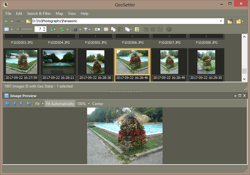
GeoSetter is a freeware tool for Windows (requires Internet Explorer 10 or higher) for showing and changing geo data and other metadata (IPTC/XMP/Exif) of image files (e.g. images taken by digital cameras). Note: The embedded map of GeoSetter doesn’t work on Windows XP.
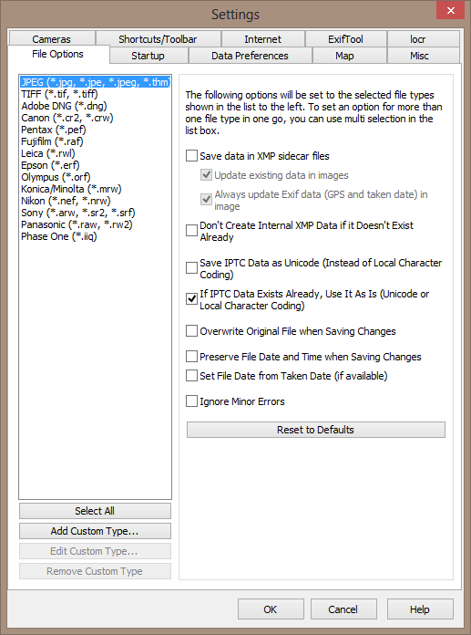
Reads and writes the formats JPEG and TIFF as well as camera RAW formats DNG (Adobe), CRW, CR2 and THM (Canon), NEF and NRW (Nikon), MRW (Konica Minolta), PEF (Pentax), ORF (Olympus), ARW, SR2, SRF (Sony) and RAF (Fujifilm), RW2 and RAW (Panasonic), RWL (Leica)
Uses ExifTool by Phil Harvey for writing data
Shows existing geo coordinates, image directions and tracks on embedded Google Maps map (requires internet connection)
Setting geo data by using embedded Google Maps map (requires internet connection) or by entering known values for coordinates and altitude directly
Automatic filling of location IPTC fields and altitude values (requires internet connection)
Editable IPTC data (IPTC-NAA/XMP)
Possibility to change taken date of images
Synchronization with track files (NMEA, GPX, PLT, Sony LOG, IGC and others)
Synchronization with already geo tagged images with buddy images (e.g. between RAW images and their corresponding JPEG images)
Google Earth export
Localizable user interface – English, German, French, Italian, Swedish, Czech, Spanish, Danish, Dutch, Russian, Japanese, Chinese and Norwegian language is available at the moment
Changes
Update 3.5 2018/05/10
Since 2011 there was no regular release of GeoSetter anymore. But there always was a beta version, on which I sometimes did some fixings or minor changes. Now I changed this version to the new regular release 3.5. It doesn’t contain any big changes or new functionality. This will come later with a major update (see also New Website, new GeoSetter Version?).
One improvement to the former version 3.4.16 is now the support for Google’s requirements regarding the version of Internet Explorer. Additionally there were problems with image files from iOS 11 devices in the last weeks, which have been read in very very slowly. This is also fixed now. Furthermore there are a lot of minor changes and fixes which I did during the last years. I will not list them all here now.
Please note: I removed the functionality for synchronizing metadata between files and folders because of some problems. As far as I know not so much users will miss that – I hope.


Click here to visit the author's website.
Continue below for the main download link.
|


 , out of 37 Votes.
